As we look to the 2026 semiquincentennial of the American Declaration of Independence, it is best to remember that the National Mall as you see it today was formed primarily due to the 1976 Bicentennial. In fact, some historians have argued construction on key features of the National Mall have been spurred by commemorations and anniversaries of significant dates in American history more than by urban plans such as the L’Enfant, Downing, or McMillan plans.¹
Figure 1. Thomas J. O’Halloran, [Aerial view of the National Mall during the bicentennial year], photograph, April 15, 1976, US News & World Report Magazine Photograph Collection, Library of Congress, Washington, D.C. loc.gov/item/2024630365.
Planning for the Bicentennial took place for years before 1976. By January of 1975, the government estimated that more than two hundred thousand people would visit Washington per day during the summer months of 1976.²
Perhaps more than any other event than the World Wars, the Bicentennial led to the most widespread overhaul of the Mall, from additions to the Monuments and Memorials, large capital improvement projects, new museums and cultural institutions, and a significant number of events and celebrations both leading up to 1976 and throughout the calendar year.
It would not be possible to fit an entire history of how the bicentennial affected the National Mall into one Mall Moment page; the 1970s saw such many construction projects in and around the Mall that to do so would require possibly dozens of pages backed by archival research and could fill an entire book. Additionally, it is important to point out that in 1976, most of the memorials that make up the Mall did not yet exist; of the ‘main’ ones, only the Jefferson Memorial, Lincoln Memorial, and Washington Monument existed at the time.³ Here, you can find an abridged version of the overall story, with this article focusing on the physical changes to the National Mall’s built environment during the bicentennial season.
Constitution Gardens
Figure 2. [Bird’s eye view of National Mall, showing the construction of Constitution Gardens on the site of the Main Navy and Munitions Building], photograph, April 8, 1975, Aerial Photography of Washington, D.C. Files, RG328 'Records of the National Capital Planning Commission', National Archives and Records Administration, College Park, MD. catalog.archives.gov/id/235195893.
The most obvious and direct effect of the American Bicentennial on the landscape of the National Mall was likely the addition of Constitution Gardens. Throughout the twentieth century, much of the WWII, had been covered by massive ‘temporary’ office buildings, used by the military until the construction of the Pentagon around WWII, then occupied by various federal agencies. The largest of these, the Many Navy and Munitions Buildings, covered four full city blocks from 17ᵗʰ to 21ˢᵗ Streets NW.⁴
By the end of the 1960s, these ‘Tempo’ buildings had become an eyesore for many; in 1969, President Nixon ordered that they be demolished to make way for Constitution Gardens.⁵ Construction on Constitution Gardens began about two years before the Bicentennial, with the park dedicated as part of the American Revolution Bicentennial Project on May 27, 1976.⁶ As can be seen in figure 2, the sheer size of the demolished Main Navy and Munitions Buildings created the space for Constitution Gardens—including the large pond at its center—and the Vietnam Veterans Memorial.
Figure 3. Warren K. Leffler and Thomas J. O’Halloran, [New trees planted in Constitution Gardens as part of a tribute to the United States Bicentennial, the Washington Monument in the background], photograph, April 14, 1976, US News & World Report Magazine Photograph Collection, Library of Congress, Washington, D.C. loc.gov/item/2024630163.
Though construction of Constitution Gardens itself was completed by the bicentennial, additions have been made in the time since which contributes towards its relevance in 2026 for the semiquincentennial. On September 17, 1986, President Reagan issued a proclamation designating the park as a living legacy to the Constitution on the bicentennial of its signing.⁷
General improvements to the Mall
In November of 1973, the National Park Service’s National Capital Parks unit (the predecessor to the NPS’ National Mall unit, among several other sections) began the Mall Rehabilitation project, publishing an environmental impact statement in 1975.⁸ Looking to the bicentennial, the project had several key objectives. First, it outlined that excessive parking spaces on the Mall had created ‘visual and physical barriers to safe and efficient pedestrian use of the area’.⁹ At the time, most of what is now the center panel (the grassy section of the Mall without trees) was being used as an outdoor parking lot, as is visible in figure 4.
Figure 4. DC Department of Highways, [Outdoor parking on the National Mall], [circa 1972], DDOT Historic Collections, DC Department of Transportation, ddotlibrary.omeka.net/items/show/106.
In addition to the effects of mass parking on the grass, what are now the two forty-foot-wide pedestrian paths between 3ʳᵈ and 14ᵗʰ streets NW were car streets called Washington Drive and Adams Drive, making the Mall an even more car-dependent public space. While many of the National Parks across the country had reckoned with the increasing encroachment of automobiles into natural parklands in the post-WWII years through initiatives such as Mission 66, the early 1970s had seen a shift in NPS philosophy towards a greater emphasis on ecological consideration in park planning.¹⁰ In the context of the National Mall, this translated to a higher emphasis placed on pedestrian accessibility, use of off-site parking lots in suburbs combined with shuttle buses, and capitalizing on the completion of the DC metro in time for the bicentennial.
Figure 5. Proposed plan for satellite parking lots map, January 1975, Box 66, Folder “District of Columbia Visitor Planning (1)”, Bicentennial Subject File 1974–76, John O. Marsh Files, Gerald R. Ford Presidential Library, Ann Arbor, MI.
By January 1975, staffers at the White House—in conjunction with the American Revolution Bicentennial Commission—had begun coordinating with the Department of Defense for use of large parking lots in several DC-area military installations to limit the number of out-of-town tourists driving directly to the Mall; the White House went as far as to create a subcommittee chaired by the Deputy Undersecretary of Transportation to address concerns around tourist access to the Mall.¹¹
By March of 1975, the final report penned by the subcommittee had decided on the following: the relatively new at the time Washington Metropolitan Area Transit Authority (WMATA, the main transit agency in the DC metropolitan area to this day) would run express special bus service from major hotel areas and two large satellite parking lots at RFK Stadium (on the other side of the city from the Lincoln Memorial on the L’Enfant Plan east–west axis) and at Fort Myer and the Pentagon in Arlington, Virginia.¹²
Figure 6. DC Department of Highways, [Looking west down Adams Drive towards Washington Monument], [circa 1960s], DDOT Historic Collections, DC Department of Transportation, ddotlibrary.omeka.net/items/show/106.
Without these changes, the National Mall would look vastly different today. Figure 6 shows what Adams Drive looked like before the bicentennial—the same street that is now the wide gravel pathways in front of the Smithsonian museums between the Washington Monument and the Capitol.
By 1976 proper, architecture firm Skidmore, Owings, and Merrill (a longtime contributor to many National Mall projects including Constitution Gardens) had been commissioned to create a master plan for the NPS that aimed to incorporate such pedestrian-first design into the earlier McMillan Plan of 1902 that had defined the National Mall of the twentieth century.¹³ The push for pedestrian accessibility on the National Mall also included the construction of a significant number of curb cuts [ramps that connect sidewalks to street level] across the Mall.¹⁴
Figure 7. Skidmore, Owings, and Merrill, The Washington Mall Bicentennial Development Plan, map, March 1976, www.som.com/projects/washington-mall-and-constitution-gardens.
The Memorials
At the time of the 1976 bicentennial, only three of the current ‘major’ monuments and memorials existed on the National Mall: the Jefferson Memorial, dedicated in 1943, the Lincoln Memorial, dedicated in 1922, and the Washington Monument, dedicated in 1885. Some changes to the Mall, such as the traffic circulation and pedestrian prioritization, were made universally across the park. The octagonal food concession kiosks like the one next to the Jefferson Memorial today was part of these Mall-wide additions.¹⁵ Because there were not as many Memorials at the time, it is possible to briefly examine the changes made at each site here.
Figure 8. Aerial View of Crowds Gathered Around the Washington Monument on America's Bicentennial, photograph, July 4, 1976, Gerald R. Ford White House Photographs, White House Photographic Office Collection, Gerald R. Ford Library, Ann Arbor, MI. catalog.archives.gov/id/609394245.
Jefferson Memorial
Figure 9. Marion S. Trikosko, [Carl XVI Gustaf, King of Sweden (right) visiting the Jefferson Memorial with another man, Washington, D.C.], photograph, April 5, 1976, US News & World Report Magazine Photograph Collection, Library of Congress, Washington, D.C. loc.gov/item/2024630316.
The bicentennial led to infrastructure additions to several Memorials. The Jefferson Memorial saw the additions of the gift shop—where a storage room had sat—and the wheelchair ramp, for example.¹⁶ There was also a major landscape project prior to the bicentennial as well; several yew shrubs (Taxus cuspidata ’Nana’ Japanese yews) and zelkova trees (Zelkova serrata) were planted on the stylobate mall (the grassy circular terrace around the Memorial), in addition to an automated irrigation system. These additions were considered to be a departure from Frederick Olmstead’s initial plans for the National Mall, and were eventually removed between 1998 and 2000.¹⁷
Lincoln Memorial
Figure 10. Thomas J. O’Halloran, [Aerial view of the Washington D.C. mall and surrounding areas from the Lincoln Memorial to the U.S. Capitol], photograph, April 15, 1976, US News & World Report Magazine Photograph Collection, Library of Congress, Washington, D.C. loc.gov/item/2024630364.
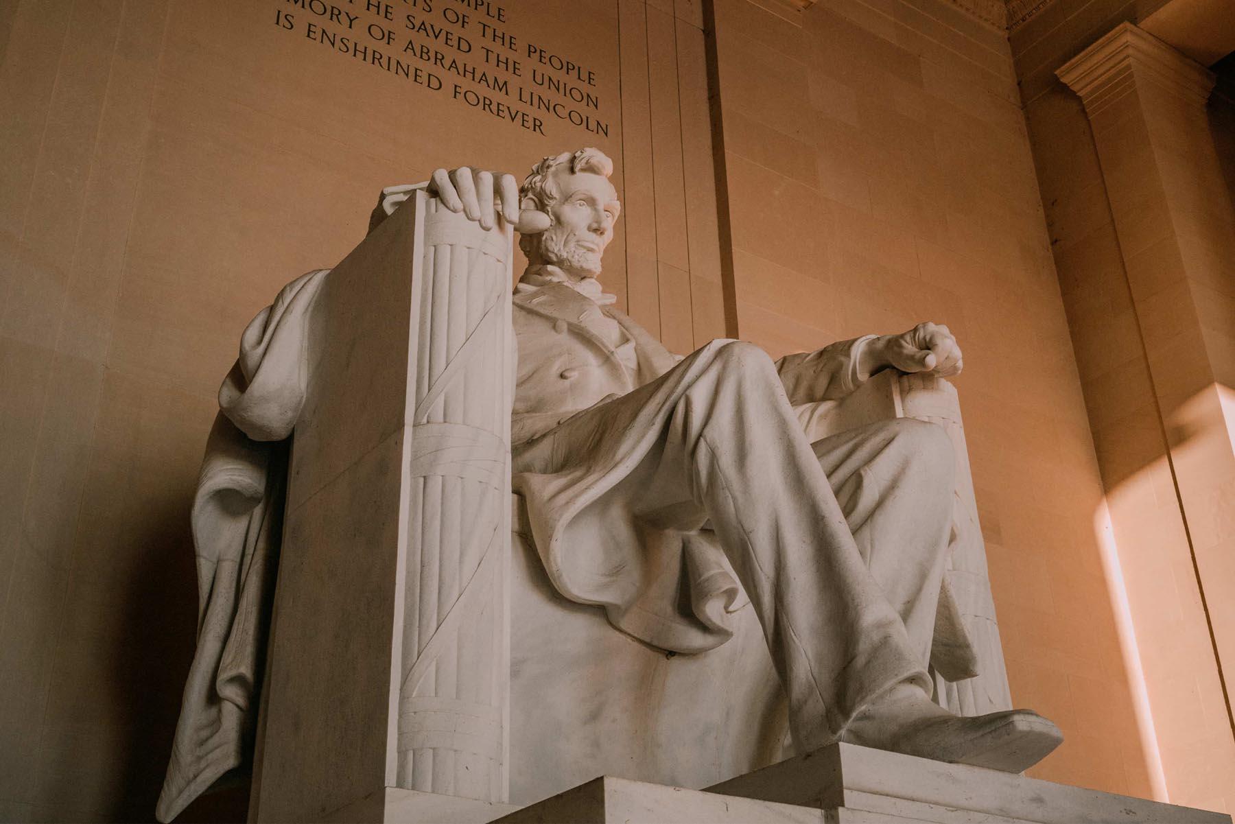
At and around the Lincoln Memorial, changes were made to many of the pedestrian paths to accommodate visitors; the area between the Memorial and the Reflecting Pool was repaved, along with the two elm walks (the two asphalt paths to the north and south of the Pool). The original accessible ramps and elevators for the Memorial were also installed at this time. Additionally, a floating dock was installed near the John Ericsson Memorial just south of the Lincoln Memorial for commercial river cruise operations.¹⁸ Private automobile parking and circulation was further restricted as well, banning all non-bus and taxi vehicles from entering Lincoln Memorial Circle west of 23ʳᵈ Street SW, providing for safer pedestrian crossings between the Memorial and the Reflecting Pool.¹⁹ By the end of the bicentennial year, an estimated 4.3 million people had visited the updated and more accessible Lincoln Memorial.²⁰
Washington Monument
In preparation for the bicentennial, several additions and changes were made to the Washington Monument grounds and its constituent architecture. The Sylvan Theatre was renovated, adding sheds, dressing rooms, a larger stage, and the proscenium arch.²¹ Between the Sylvan Theatre and the Monument Lodge, a Visitor Orientation Facility known as the Kodak Theatre was built. The Kodak Theatre operated between April and October of that year, showing visitors a video about George Washington’s life (the Kodak Theatre is seen in figures 1 and 8 to the left of the Sylvan Theatre).²² Even the Washington Monument grounds restrooms (behind the Sylvan Theatre) were a bicentennial addition!²³
Figure 11. Skidmore, Owings, and Merrill, [Site development plans for Washington Monument grounds], map, 1975. Reproduced from John Milner Associates, Inc. and Grunley-Walsh Joint Venture, Washington Monument Grounds Cultural Landscape Report, rev. ed., January 2015, fig. 2-82. npshistory.com/publications/wamo/clr-wa-mon-grounds.pdf.
Where does that leave us?
As 1976 came and went, the National Mall saw significant changes to its aesthetic design and built environment thanks to bicentennial fervor and commemorative political will across the federal government. Of course, programming on the National Mall made the monuments, memorials, and park spaces come to life in the minds of the average visitor more so than the granite and asphalt of the built spaces. But it is nevertheless significant to recognize that the bicentennial—more so than any other event in the past century—has influenced how the National Mall that you see today looks, sounds, and feels.